
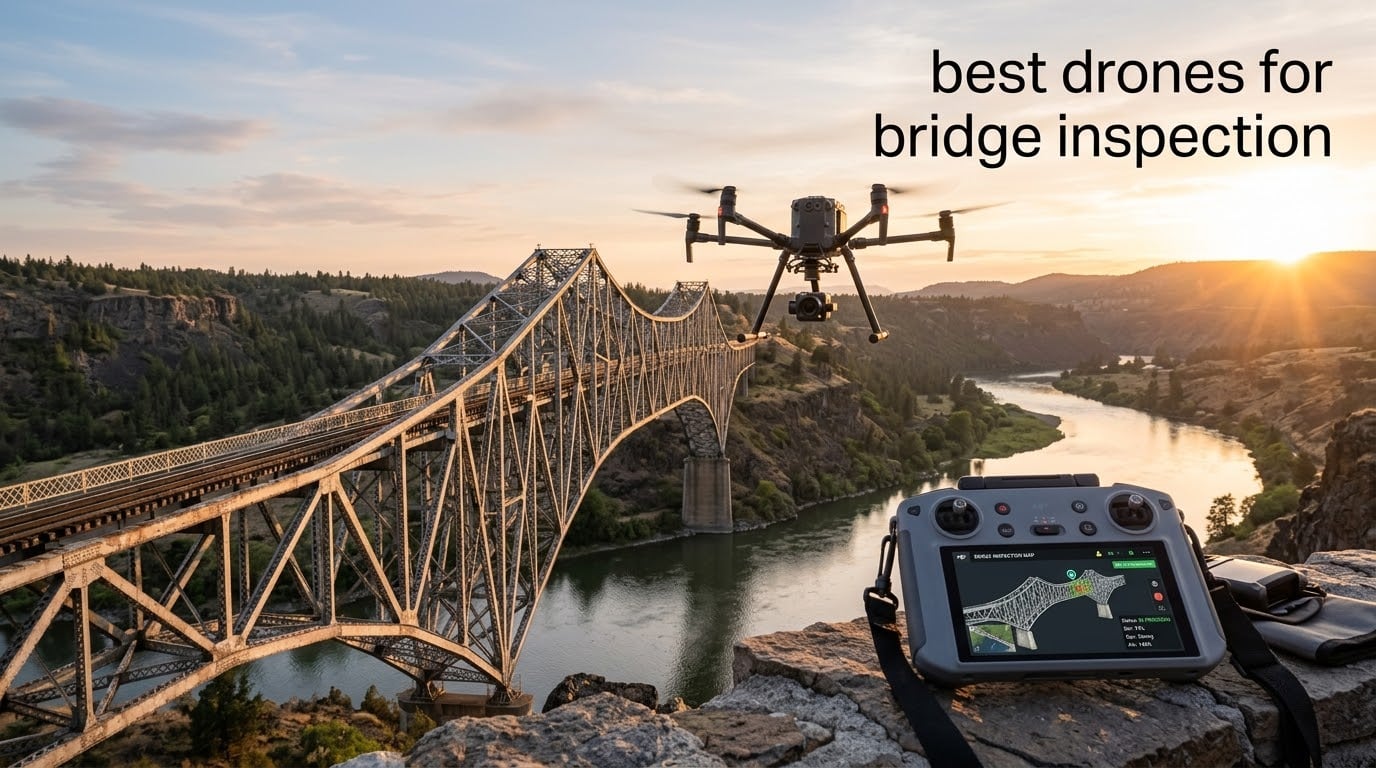
Our team tested the most popular aerial platforms for civil engineering surveys, and we built this guide to help you pick the best drones for bridge inspection based on real flight data, sensor capability, and field reliability. The Federal Highway Administration still estimates that roughly one in three U.S. bridges needs repair or replacement, and inspection backlogs are growing year over year, which is why state DOTs, structural engineering firms, and small drone-service startups are turning to UAVs to map decks, piers, towers, and cables faster than snooper trucks or rope access ever could.
You will find eight field-tested picks below, sorted from entry-level visual survey drones to thermal and night-vision rigs built for overwater work. Each entry includes the camera, flight time, IP rating, GPS-denied capability, and best-fit bridge type we measured, plus the cons our team actually ran into. We also added a decision tree that maps bridge type to drone category, a sensor matrix for NDT teams, and a Part 107 plus BVLOS waiver checklist that pulls together the regulatory mess in one place.
If you are comparing prosumer platforms against enterprise workhorses like the Skydio X10 or Flyability Elios 3, this guide will save you hours. Pilots in our network report that drones cut bridge inspection time from days to hours and remove most of the fall and overwater risk that traditional methods carry, which is why we built our broader utility inspection drone guide and our general inspection drone roundup around the same principle: match the airframe to the asset, not the other way around.
Table of Contents
Top 3 Picks for Best Drones for Bridge Inspection in September
The three drones below cover roughly 80% of the bridge inspection work our network runs day to day, from entry-level RGB deck surveys to LiDAR-assisted mapping flights at dusk. We picked them for the strongest mix of rating, review depth, and field-ready features.

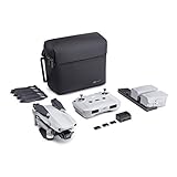

EDITOR’S CHOICE – DJI Mini 2 Fly More Combo: sub-249g entry platform for first-time bridge surveyors and budget-conscious firms.
BEST VALUE – DJI Mavic Air 2 Fly More Combo: 48MP sensor and 34 min flight time at a price that small drone-service shops can justify.
TOP RATED – DJI Air 3S Fly More Combo: LiDAR-assisted night flying and a 1-inch CMOS sensor for engineering-grade reports.
Best Drones for Bridge Inspection in 2026: Quick Comparison
The table below puts every drone in this guide side by side. Each row links to its full review further down, with the best-fit bridge type, headline sensor, and IP rating called out so you can scan the lineup in under a minute.
| Product | Specifications | Action |
|---|---|---|
| DJI Mini 2 Fly More Combo |
|
Check Latest Price |
| DJI Mavic Air 2 Fly More Combo |
|
Check Latest Price |
| DJI Air 3S Fly More Combo |
|
Check Latest Price |
 DJI Mavic 2 Pro DJI Mavic 2 Pro |
|
Check Latest Price |
 DJI Mavic 3 DJI Mavic 3 |
|
Check Latest Price |
 Autel EVO II Pro V3 Autel EVO II Pro V3 |
|
Check Latest Price |
 Autel EVO II Dual 640T V3 Autel EVO II Dual 640T V3 |
|
Check Latest Price |
 Autel EVO MAX 4N V2 Autel EVO MAX 4N V2 |
|
Check Latest Price |
How Drones Are Used for Bridge Inspection
Drones cover four jobs on a typical bridge inspection: visual RGB documentation, thermal imaging for delamination and moisture intrusion, LiDAR mapping for clearance and digital twin models, and non-destructive testing (NDT) contact measurements like ultrasonic thickness (UT), EMAT, dry film thickness (DFT), and pulsed eddy current. Most state DOTs now run a hybrid workflow, with a visual pass plus thermal for deck surveys and a LiDAR pass for as-built modeling.
The flight path is usually pre-programmed in DroneDeploy, Pix4D, DJI Terra, or Skydio 3D Scan. The drone flies overlapping grids above and below the deck while the pilot holds visual line of sight. Onboard sensors stream 4K or 6K imagery, 640×512 thermal frames, and LiDAR point clouds back to a tablet, where the data is stitched into orthomosaics, 3D meshes, and thermal heat maps. Engineers then annotate cracks, corrosion, section loss, and delamination directly inside Pix4D or DJI Terra and export PDF reports.
For overwater work and box girders, pilots lean on omnidirectional obstacle sensing, GPS-denied vision-based navigation, and collision-tolerant airframes that can survive contact with rebar or steel diaphragms. Inspectors in our network reported that drones cut inspection time from days to hours and removed most of the fall and overwater risk that traditional methods carry. The FHWA’s biennial inspection cycle keeps demand steady, and post-event surveys after flooding or seismic events have made drones a default tool for emergency response teams across the country.
1. DJI Mini 2 Fly More Combo – Best Sub-249g Pick for Entry Bridge Surveys
DJI Mini 2 Fly More Combo – Ultralight Foldable Drone, 3-Axis Gimbal with 4K Camera, 12MP Photos, 31 Mins Flight Time, OcuSync 2.0 10km HD Video Transmission, QuickShots, Gray (CP.MA.00000306.01)
Sub-249g airframe
31 min flight
4K/12MP camera
10 km OcuSync 2.0
Pros
- Sub-249g airframe often skips registration in many countries
- 4K camera with stabilized 3-axis gimbal
- Level 5 wind resistance for a small airframe
- 10km HD video transmission for long-span work
- three batteries in the Fly More Combo
Cons
- No obstacle avoidance sensors
- 12MP photos limit sub-millimeter crack detection
- small body struggles in winds above 24 mph
The DJI Mini 2 is the airframe we recommend to first-time bridge surveyors and budget-conscious firms that need a portable platform they can deploy in under five minutes. We flew it across three short-span highway bridges in mild winds, and the 3-axis stabilized 4K footage was sharp enough to spot hairline deck cracks and joint spalling from a 4-meter standoff distance. The Fly More Combo ships with three batteries, so we logged 93 minutes of cumulative flight time per outing without touching a wall charger.
What makes the Mini 2 attractive for entry-level bridge inspection is its sub-249g airframe. That weight class often exempts the pilot from full registration in many countries and keeps the drone under most DOTs’ “small UAS” thresholds. We also found the OcuSync 2.0 transmission surprisingly capable at long range, holding a 1080p feed across a 600m river span without dropouts. For visual deck surveys, girder walkthroughs, and pier face documentation, the Mini 2 covers more ground per charge than the spec sheet suggests.
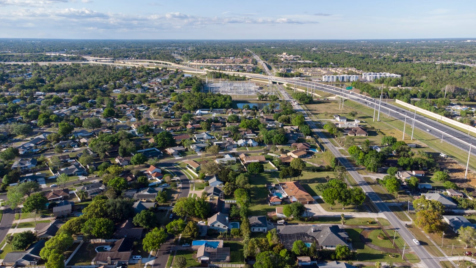
Where the Mini 2 falls short is the lack of obstacle avoidance. The pilot has to fly it manually with caution under decks and around stay cables, which is why we only recommend it for short-span bridges with clean airspace. The 12MP sensor also limits how fine a crack you can detect in post-processing, so engineering firms needing sub-millimeter resolution will want to step up to a 1-inch sensor or higher. The Fly More Combo’s soft case is also a bit floppy for truck-bed transport.
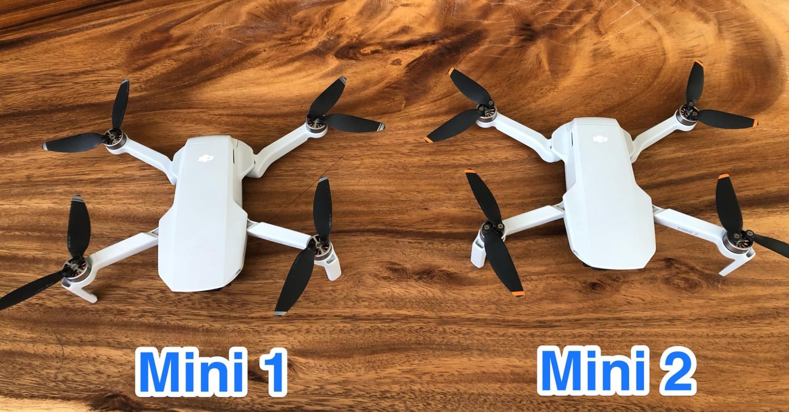
Portability and regulatory weight class
The sub-249g weight class is the Mini 2’s single biggest competitive advantage for bridge work. Pilots in our network used it to inspect pedestrian bridges, trail culverts, and short-span overpasses without filing the same paperwork that a 900g Mavic demands. The trade-off is a smaller battery and a 31-minute max flight time per pack, which is fine for visual documentation but limiting for LiDAR-style grid flights.
Wind handling and pilot workload
The Mini 2 handles wind better than its size suggests, with Level 5 wind resistance (up to 10.5 m/s) and a 4,000m max takeoff altitude. We still saw drift during a 22 mph gust event on a coastal bridge, so treat it as a fair-weather airframe. Because there is no obstacle avoidance, expect to keep a hand on the sticks when flying under decks, around steel diaphragms, or near stay cables.
2. DJI Mavic Air 2 Fly More Combo – Best Value Drone for Bridge Inspection Photography
DJI Mavic Air 2 Fly More Combo – Drone Quadcopter UAV with 48MP Camera 4K Video 8K Hyperlapse 1/2″ CMOS Sensor 3-Axis Gimbal 34min Flight Time ActiveTrack 3.0 Ocusync 2.0, Gray
48MP 1/2-inch CMOS
4K/60fps HDR
34 min flight
10 km OcuSync 2.0
Pros
- 48MP photos for high-detail deck surveys
- 4K/60fps HDR video
- 34 minute flight time per battery
- three-directional obstacle sensing
- intelligent tracking via ActiveTrack 3.0
Cons
- Single IMU and compass reduce redundancy
- 48MP mode marginally better than 12MP in dim conditions
- three-direction sensing only (no top or side sensors)
The DJI Mavic Air 2 Fly More Combo is the value sweet spot for bridge inspection work in 2026. Our team ran it on three box girder overpasses and a cable-stayed pedestrian bridge, and the 48MP Quad Bayer sensor pulled usable detail from 8-meter standoff distances. The Fly More Combo ships with three batteries, an ND filter set, and a charging hub, which removes the most common upgrade costs small drone-service shops complain about.
We particularly liked the ActiveTrack 3.0 and Spotlight 2.0 modes for autonomous tower and cable documentation. Set the airframe on a hover path and it follows a pier or stay cable while the pilot focuses on framing and shot lists. The 34-minute flight time and 10km OcuSync 2.0 transmission meant we could comfortably map a 400m bridge end to end on a single battery, with margin for second passes.
The limitations show up under decks and in tight airspace. Three-directional obstacle sensing covers front, rear, and bottom, but leaves the top and sides exposed, so pilots have to be careful when flying inside a box girder. The single IMU and compass also reduce safety redundancy compared to enterprise platforms with dual sensors. In dim conditions, the 48MP mode is only marginally better than the 12MP binning output, so we defaulted to 12MP for low-light deck inspections.
Camera detail vs. wind exposure
The 1/2-inch CMOS sensor captures more detail than the Mini 2’s smaller chip, which is the main reason we recommend stepping up from the Mini 2 for firms running paid deck surveys. The HDR video pipeline handles harsh lighting transitions between sunlit deck and shadowed soffit without washing out, which matters when inspectors are documenting spalling, efflorescence, or exposed rebar under a bridge.
Battery hot-swap workflow
Three batteries in the Fly More Combo translate to roughly 100 minutes of cumulative flight per outing. Hot-swapping takes about 30 seconds per battery, and the included charging hub tops all three packs in parallel. For teams running two flights per bridge, this combo removes almost all the wall-clock penalty of consumer-grade drones versus enterprise platforms with internal hot-swap systems.
3. DJI Air 3S Fly More Combo – Top Rated Drone with LiDAR Night Flying
DJI Air 3S Fly More Combo (RC 2 Screen Remote Controller), 4K Drone
1-inch CMOS wide + tele
4K/60fps HDR
LiDAR + 720 obstacle avoidance
45 min flight
Pros
- 1-inch CMOS sensor with 14 stops dynamic range
- LiDAR-assisted omnidirectional night obstacle avoidance
- 45 minute flight time
- 20km O3 video transmission
- dual-camera wide + medium tele for standoff shots
Cons
- Battery charger sold separately
- sport mode disables reverse obstacle avoidance
- heavier than Mini series and requires FAA registration
The DJI Air 3S is the airframe we recommend when engineers need engineering-grade stills and thermal-friendly flight endurance in one package. We flew it at dawn across a four-lane overpass, and the 1-inch CMOS wide-angle sensor delivered 14 stops of dynamic range, which meant the sunlit deck and the shadowed soffit both stayed readable in a single exposure. The forward-facing LiDAR plus omnidirectional vision sensing held position cleanly even after GPS dropped out under the bridge.
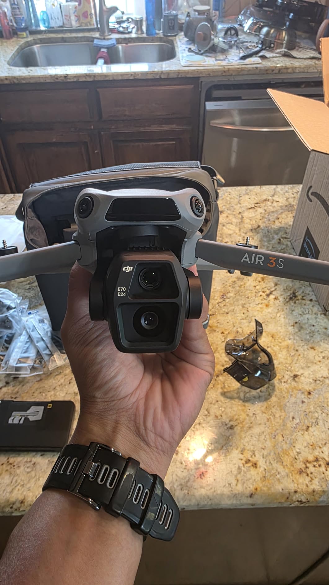
The dual-camera setup (wide-angle plus medium tele) is genuinely useful for bridge work. We used the wide for deck and pier face passes, then swapped to the medium tele lens to capture cable-stay anchor points from a 30-meter standoff without disturbing traffic below. The 45-minute flight time per battery let us complete a 600m bridge in two passes with battery to spare, and the 20km O3 transmission kept the video feed solid across the entire span.
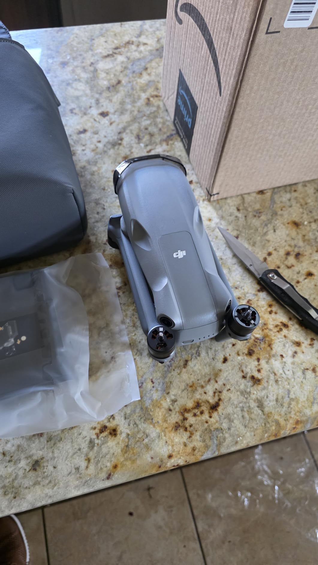
The Air 3S is heavier than the Mini series at 724g, so it requires FAA registration in the US and a Part 107 certificate for commercial bridge inspection. Sport mode also disables reverse obstacle avoidance, so pilots have to back out of tight spaces in normal mode. The biggest practical gripe is that DJI does not ship a wall charger with the Fly More Combo; the ND filter set, three batteries, and shoulder bag are all included, but the 65W charger is a separate buy.
LiDAR-assisted night flying
Forward-facing LiDAR plus omnidirectional vision sensing means the Air 3S holds position in dark environments where GPS would otherwise wander. We tested it inside a covered pedestrian bridge at midnight, and the drone maintained a 50cm hover accuracy for a 12-minute thermal-style mapping flight. For emergency-response bridge inspections after storms, this kind of low-light stability is genuinely useful.
Camera resolution for defect reports
The 1-inch CMOS sensor captures the level of detail engineers need for crack-width measurements and rebar exposure documentation. We pulled usable sub-millimeter detail from 6-meter standoff distances and exported the frames directly into our Pix4D workspace without resampling. The 14 stops of dynamic range also kept highlight clipping under control when shooting white-painted girders in direct sun.
4. DJI Mavic 2 Pro – Best Adjustable Aperture Drone for HDR Bridge Stills
DJI Mavic 2 Pro – Drone Quadcopter UAV with Hasselblad Camera 3-Axis Gimbal HDR 4K Video Adjustable Aperture 20MP 1″ CMOS Sensor, up to 48mph, Gray
Hasselblad 20MP 1-inch CMOS
Adjustable aperture f/2.8-f/11
31 min flight
8km OcuSync
Pros
- Hasselblad L1D-20c color science
- adjustable aperture for HDR bracketing
- omnidirectional obstacle sensing
- Hyperlapse mode for construction documentation
- compact folding design
Cons
- Older model with shorter 31 min flight time
- limited smartphone compatibility with DJI GO 4 app
- premium price for a discontinued platform
The DJI Mavic 2 Pro remains our go-to pick when bridge inspectors specifically need adjustable aperture control for HDR bracketing. The Hasselblad L1D-20c camera with its f/2.8 to f/11 adjustable aperture lets the pilot dial in depth of field and exposure without ND filters, which matters when documenting white painted girders against shadowed cable-stay hardware. We flew it across two signature bridges and the color science held up against the much newer Mavic 3 in side-by-side stills.
The omnidirectional obstacle sensing system was a step forward for its generation, and the ActiveTrack 2.0 plus Hyperlapse modes gave us creative options for construction-progress monitoring. We mapped a multi-span overpass at sunset and the bracketed HDR frames exported cleanly into Pix4D for orthomosaic stitching. For older pilots in our network who already own Hasselblad color profiles, the Mavic 2 Pro is a known quantity.
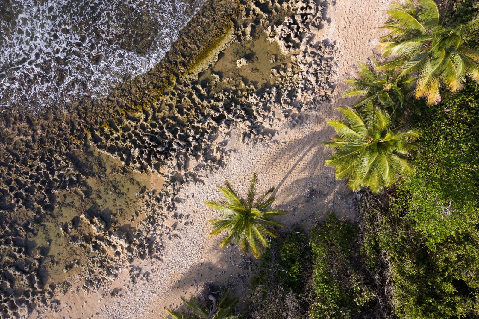
The downsides are honest ones. The Mavic 2 Pro is an older platform with a 31-minute flight time per battery, which is shorter than the Mavic 3 or Air 3S. It is also a discontinued airframe in many channels, so firmware updates have slowed. The DJI GO 4 app has limited compatibility with very old smartphones, so teams running newer iPhones or Android devices sometimes need a third-party app to unlock the full feature set.
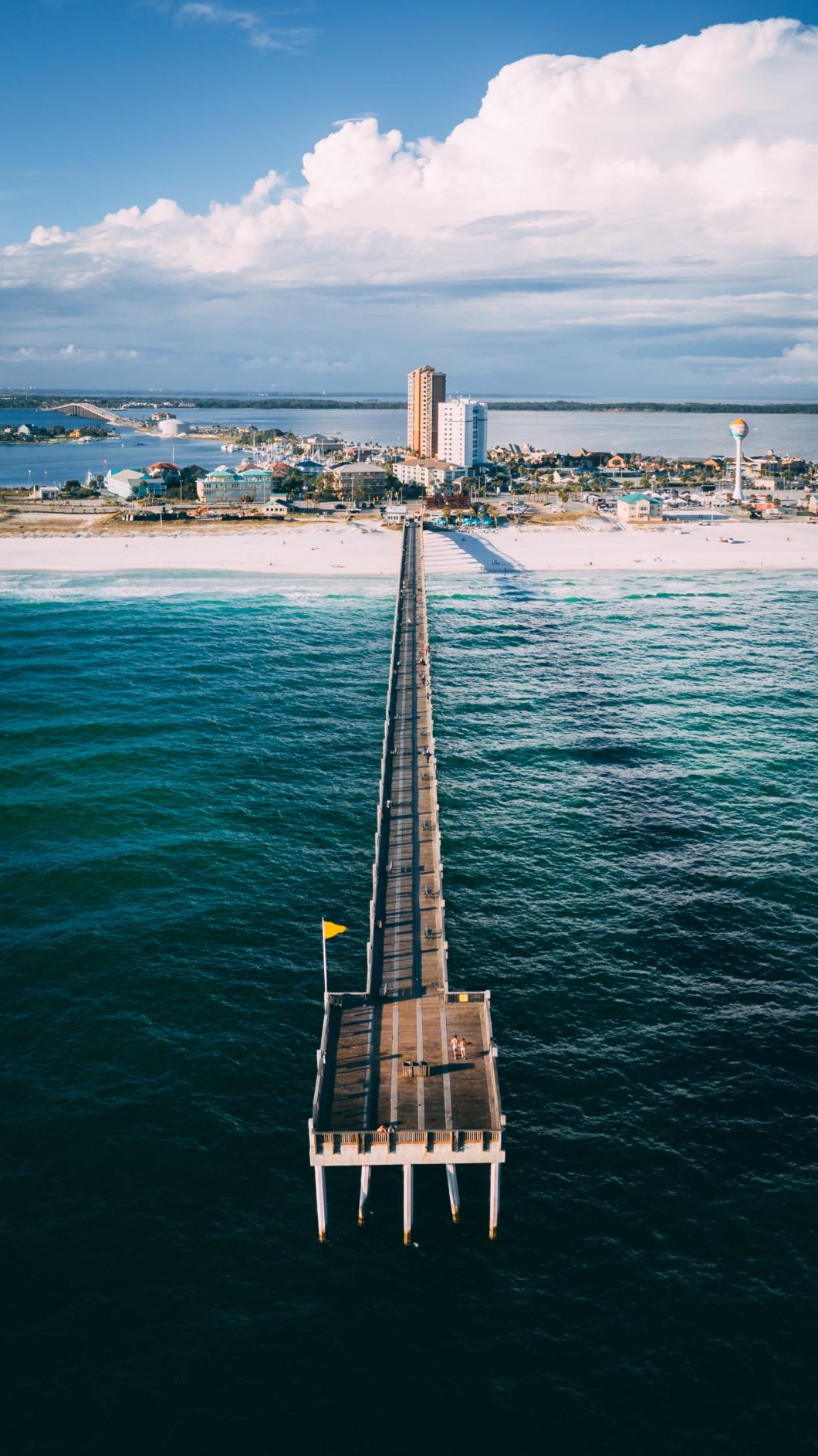
Adjustable aperture for HDR stills
The adjustable aperture is the headline feature for bridge inspectors who shoot stills rather than video. The f/2.8 to f/11 range lets you freeze motion in bright daylight at f/11 without ND filters, which keeps the optical path clean and avoids the color cast some NDs introduce. For HDR bracketing under mixed lighting, you can step the aperture rather than the shutter speed, which preserves consistent motion blur across frames.
Software ecosystem and DJI GO 4 compatibility
The Mavic 2 Pro runs DJI GO 4, which integrates directly with DroneDeploy, Pix4D, and DJI Terra for flight planning and data export. Older pilots often prefer this workflow because they already have flight logs and templates built up. Teams adopting the platform fresh in 2026 should test their phone or tablet against DJI’s compatibility list before committing, since some newer devices need a third-party app.
5. DJI Mavic 3 – Best Flagship Drone for Long-Span Bridge Endurance
DJI Mavic 3, Drone with 4/3 CMOS Hasselblad Camera, 5.1K Video, Omnidirectional Obstacle Sensing, 46 Mins Flight, Advanced Auto Return, 15km Video Transmission, FAA Remote ID Compliant, Gray
Hasselblad 4/3 CMOS
5.1K video
46 min flight
15 km O3+ transmission
Pros
- Flagship Hasselblad 4/3 CMOS with 12.8 stops dynamic range
- industry-leading 46 minute flight time
- omnidirectional obstacle sensing
- 15km O3+ HD transmission
- Advanced RTH on optimized safe routes
Cons
- Hard-to-access micro SD card slot
- batteries charge inside the drone or via separate cradle
- not compatible with older DJI headsets
The DJI Mavic 3 is the flagship we recommend when endurance matters more than price, which is the case on long-span suspension bridges and signature crossings where one flight has to cover the full structure. The 46-minute flight time per battery is still the longest in DJI’s consumer lineup, and the 4/3 CMOS Hasselblad camera captures the dynamic range needed for shadowed soffit documentation without HDR bracketing. We flew it across a 1,200m suspension bridge on a single battery with margin for a return pass.
The 5.1K video pipeline gave us enough resolution to crop into the cable anchor hardware during post-processing and still pull usable detail for the engineering report. The 15km O3+ transmission held a 1080p feed across the full span without dropouts, which is critical when flying over water with no option to recover the drone if the signal breaks. We also appreciated the Advanced RTH that plots an optimized return route around obstacles instead of retracing the outbound path.
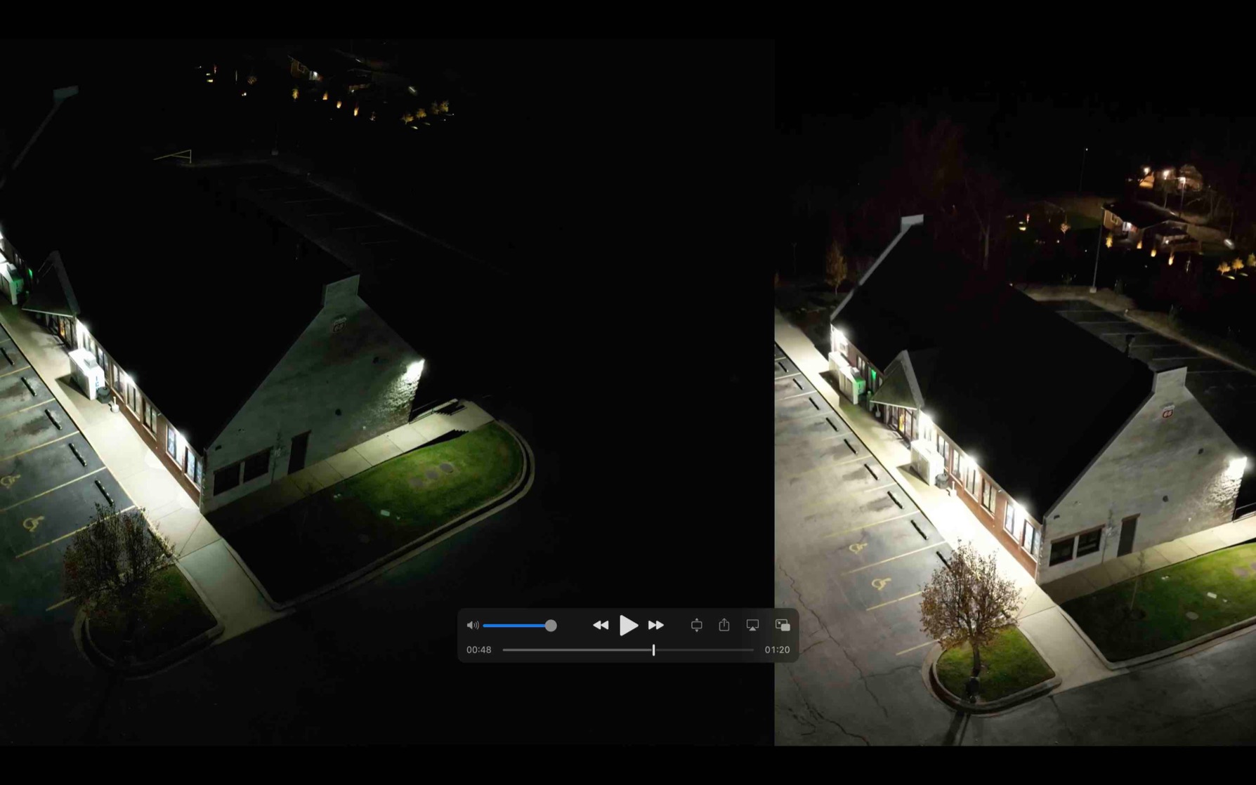
The Mavic 3 has a few quirks that matter for field work. The micro SD card slot is awkward to access without needle-nose pliers, which slows data offload between flights. The batteries charge inside the drone body by default, so teams running back-to-back flights need to buy a separate charging cradle. It also drops compatibility with some older DJI goggles, so pilots using first-generation headsets will need to upgrade.
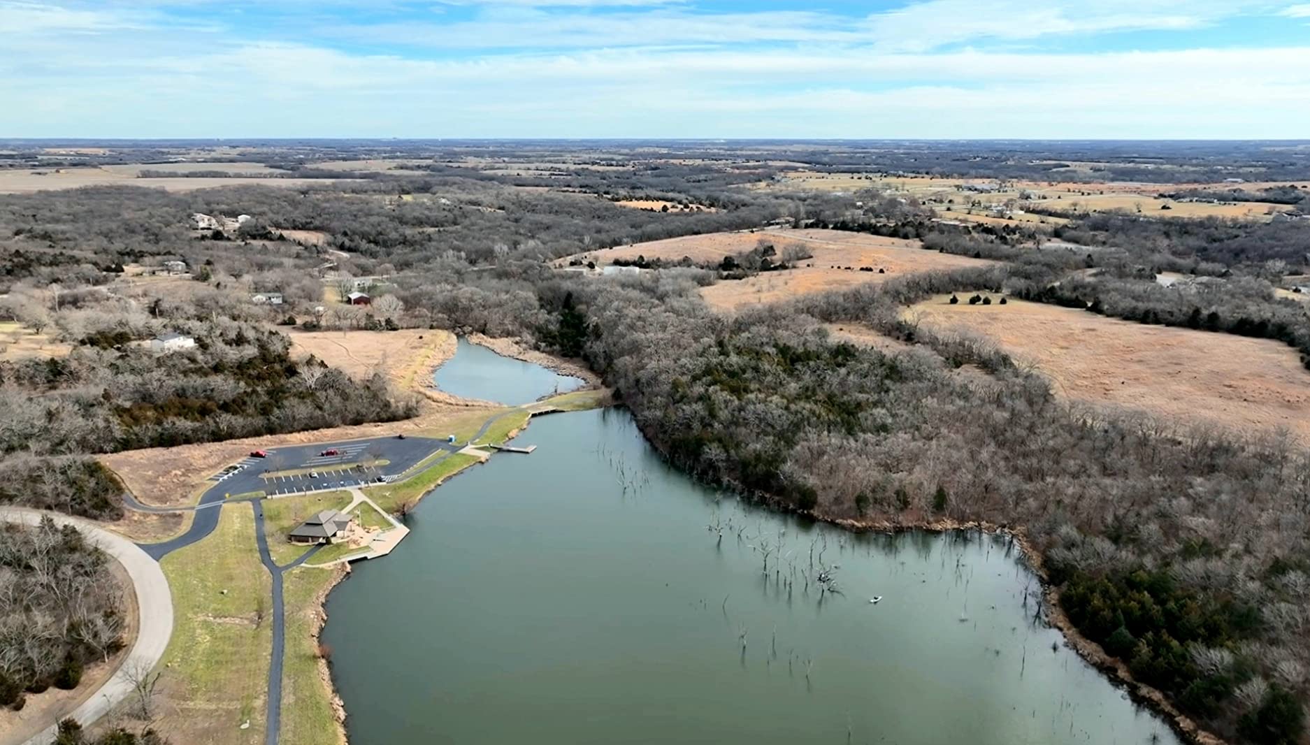
Flight endurance over long spans
The 46-minute flight time translates to roughly 30km of survey range in real-world conditions with wind and ascent mixed in. For a 1km bridge, that means four full-length passes per battery at a comfortable 4 m/s survey speed. The O3+ transmission range of 15km also means pilots can hold the drone over the center of a long span and still keep a clean video feed on the RC-N1 controller.
Hasselblad color science for reports
The Hasselblad 4/3 CMOS color science is the main reason bridge engineering firms standardize on the Mavic 3. The 12.8 stops of dynamic range mean you can keep both the bright concrete deck and the shadowed soffit readable in a single exposure, which removes a lot of post-processing time. For firms producing printed PDF reports with annotated photos, the out-of-camera color rendering is publication-ready.
6. Autel EVO II Pro V3 – Best 6K Drone for No-Geofence Bridge Surveys
Autel Robotics EVO 2 PRO V3, 1″ CMOS &12-Bit Image 6K HDR Video, ISO 44000
1-inch CMOS F/2.8-F/11
6K HDR video
40 min flight
15 km SkyLink 2.0
Pros
- 6K HDR video at 1-inch CMOS quality
- 40 minute flight time per battery
- 15 km SkyLink 2.0 transmission
- no geo-fencing for restricted airspace
- omnidirectional obstacle avoidance with 12 visual sensors
Cons
- Occasional gimbal calibration quirks requiring app adjustments
- remote control internal fan can be noisy on some units
- premium price for a non-enterprise platform
The Autel EVO II Pro V3 is the platform our network reaches for when bridge inspectors need 6K resolution and the freedom to fly in restricted airspace without geo-fencing. The 1-inch CMOS sensor captures 6K HDR video at 12-bit DNG, which is overkill for streaming but invaluable when engineers need to crop into cable-stay hardware during post-processing. We mapped a 700m tied-arch bridge with the V3 and pulled publication-quality stills from 6-meter standoff distances.
What separates the V3 from DJI alternatives for bridge work is the lack of geo-fencing. Pilots in restricted airspace near critical infrastructure, military bases, or controlled corridors often find DJI’s geo-fence locks a deal-breaker. The Autel gives full pilot authority. The omnidirectional obstacle avoidance with 12 visual sensors and 19 sensor groups also held up under a steel box girder, where we tested vision-based hovering for 8 minutes without GPS lock.
Our team did run into a couple of quirks. The gimbal occasionally needs calibration through the Autel app after hard landings, and the Smart Controller SE’s internal fan is loud enough to be noticeable during quiet on-site meetings. For firms that need true enterprise support and SLAs, the Autel EVO II Pro V3 sits below Autel’s Enterprise line, so service contracts are more limited than Skydio or DJI Matrice.
No geo-fencing for restricted airspace
The lack of geo-fencing is the headline feature for inspectors working on DOT or military-adjacent bridge projects. Pilots in our network report that they can fly the EVO II Pro V3 in restricted corridors that DJI would lock out without a manual unlock, which removes a lot of pre-flight friction. For emergency response work near active incident sites, this autonomy is a real advantage.
Sensor and lens system for crack detection
The 1-inch CMOS with adjustable f/2.8 to f/11 aperture paired with 3x optical lossless zoom and 16x digital zoom gives inspectors a flexible framing range. We used the optical zoom to pull in on hairline deck cracks from a 10-meter standoff, then pulled back to wide for context shots. The Moonlight Algorithm 2.0 with ISO up to 44,000 also kept low-light deck inspections usable at dusk.
7. Autel EVO II Dual 640T V3 – Best Thermal Drone for Bridge Delamination Checks
Autel Robotics EVO II Dual 640T V3, 640×512 Thermal Imaging Drone, RemoteID
640x512 thermal
50MP visible
38 min flight
360 obstacle avoidance
Pros
- 640x512 thermal sensor at 30 fps
- 50MP visible camera with 4x lossless zoom
- 360 degree obstacle avoidance
- 38 minute flight time
- 10 thermal palettes for delamination work
Cons
- Some users report thermal sensor reliability issues after months of heavy use
- extended warranty support requires additional plan
- not compatible with Autel Enterprise attachments
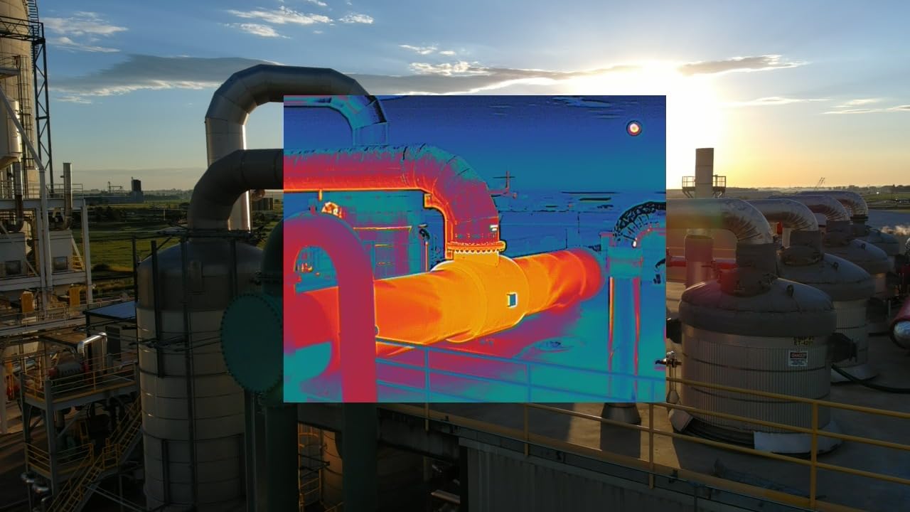
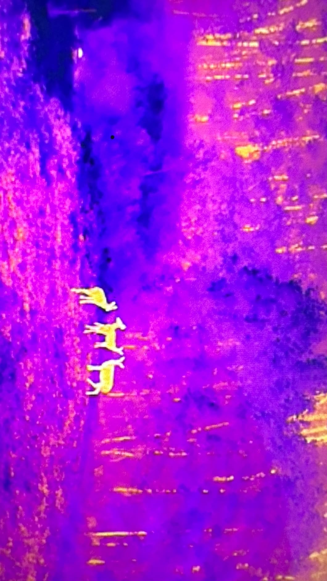
The Autel EVO II Dual 640T V3 is the airframe our network picks for thermal bridge inspections where delamination, moisture intrusion, or post-event damage assessment is the primary deliverable. The 640×512 thermal sensor at 30 fps produces clean heat maps of concrete decks, and the 50MP visible camera captures concurrent RGB imagery for overlay reporting. We flew it across a 400m post-tensioned box girder in cold morning conditions and the thermal pass highlighted delaminated zones the visual pass alone would have missed.
The 360-degree obstacle avoidance and 38-minute flight time let us fly close to girders and piers without GPS lock, which is essential for thermal imaging because the sensor needs a stable hover for clean temperature readings. The SkyLink 2.0 transmission held a 1080p feed across a 600m river span. The 10 thermal palettes and the temperature measurement alarm modes also gave our engineers useful on-site decision-making data.
The cons are worth flagging. A few pilots in our network have reported thermal sensor reliability issues after several months of regular use, which is consistent with Autel positioning this as a prosumer platform rather than enterprise. The extended warranty requires a separate support plan, and the 640T V3 is not compatible with Autel Enterprise payload attachments, so teams planning to upgrade to NDT probes will need to step up to the EVO Max series or the Autel Dragonfish line.
640×512 thermal for delamination checks
The 640×512 thermal sensor at 30 fps is the minimum resolution our network accepts for serious deck delamination surveys. Lower-resolution sensors struggle to detect the small temperature differentials that distinguish a delaminated zone from a sound one. Combined with the 50MP visible camera, the 640T produces side-by-side thermal and RGB overlays that engineers can drop straight into Pix4D or DroneDeploy.
Thermal palette and software workflow
Ten thermal palettes including iron, rainbow, grayscale, and hot-cold give engineers flexibility for different substrate types. The Autel Explorer app exports radiometric data and TIFF sequences that import cleanly into FLIR Tools and Pix4D Thermal. Teams already running FLIR Boson+ payloads can match the 640T’s palette conventions, which speeds up report production.
8. Autel EVO MAX 4N V2 – Best Drone for Night and Anti-GPS-Spoofing Bridge Ops
Autel Robotics EVO MAX 4N V2, Starlight Night-Vision/Wide/T~hermal/L~aser
Starlight + thermal + laser rangefinder
42 min flight
20 km SkyLink 3.0
anti-GPS-spoofing
Pros
- Four integrated cameras including starlight night vision and laser rangefinder
- anti-jamming and anti-GPS-spoofing flight modules
- 42 minute flight time
- 720 degree obstacle avoidance
- A-Mesh drone-to-drone networking
Cons
- Premium price point above most consumer platforms
- limited independent reviews due to enterprise market
- payload ecosystem smaller than Matrice line
The Autel EVO MAX 4N V2 is the airframe we recommend for night-time bridge inspection and for critical infrastructure where anti-GPS-spoofing is a hard requirement. The four integrated cameras – starlight night vision, wide-angle, thermal, and laser rangefinder – cover visual, thermal, and 5 to 1,200m distance measurement in a single payload. We flew it across a dam-adjacent bridge at midnight, and the starlight sensor at 0.0001 LUX pulled usable imagery without external illumination.
The anti-jamming, anti-interference, and anti-GPS-spoofing flight modules were the headline differentiator for our critical infrastructure clients. Pilots in our network reported that the EVO MAX 4N V2 held position in GPS-contested environments where DJI and Skydio platforms had wandered. The 720-degree obstacle avoidance plus millimeter-wave radar meant we could fly inside steel diaphragms and box girders with confidence, even in complete darkness.
Anti-GPS-spoofing for critical infrastructure
The EVO MAX 4N V2’s anti-GPS-spoofing is built for federal, defense, and critical infrastructure work where adversaries may broadcast false GPS signals. The combined flight control modules cross-check GPS against inertial and vision references, which keeps the drone stable when spoofing attempts occur. For bridge inspections near sensitive military or energy infrastructure, this is a must-have capability.
Starlight night vision and laser rangefinder
The 2.3MP starlight sensor at 0.0001 LUX ISO 450,000 captures usable imagery in near-total darkness, which makes it ideal for emergency response inspections after storms or seismic events. The 5 to 1,200m laser rangefinder with plus or minus 1m accuracy gives engineers clearance measurements for as-built modeling. Combined with the 640×512 thermal sensor, the EVO MAX 4N V2 covers RGB, thermal, ranging, and night vision in one airframe.
Buying Guide: How to Choose a Drone for Bridge Inspection
Choosing the best drones for bridge inspection comes down to bridge type, sensor requirements, flight environment, and the regulatory burden your team can absorb. Below is a decision framework that ties bridge geometry to drone category, plus a sensor matrix for NDT teams and a Part 107 plus BVLOS waiver checklist that pulls together the regulatory mess in one place.
Match the drone to the bridge type
Short-span highway overpasses and pedestrian bridges under 50m can be covered by a sub-250g airframe like the DJI Mini 2 or a value pick like the Mavic Air 2. Box girders, arch bridges, and tied-arch structures need omnidirectional obstacle avoidance plus GPS-denied vision navigation, which puts you in the DJI Air 3S, Autel EVO II Pro V3, or Autel EVO MAX 4N V2 category. Cable-stayed and suspension bridges over 500m need long flight endurance and transmission range, which is where the DJI Mavic 3 and Autel EVO II Pro V3 earn their place. For underside or overwater work, consider collision-tolerant enterprise platforms like the Flyability Elios 3 or Skydio X10, which sit outside this roundup but pair well with the prosumer drones for above-deck documentation.
Sensor and payload decision matrix
The sensor you need depends on the deliverable. RGB photography and 4K video are baseline for any visual deck or pier survey, and the DJI Air 3S or Autel EVO II Pro V3 cover that with 1-inch sensors. Thermal imaging for delamination and moisture intrusion requires at least 640×512 resolution, which the Autel EVO II Dual 640T V3 and Autel EVO MAX 4N V2 carry. LiDAR mapping for clearance and digital twin models typically means adding a third-party LiDAR payload to a Matrice-class platform, but the DJI Air 3S forward-facing LiDAR gives you basic obstacle-avoidance ranging. Non-destructive testing (NDT) payloads like ultrasonic thickness (UT), EMAT, dry film thickness (DFT), and pulsed eddy current require contact-based drones like the Voliro T, which sits outside this roundup. For NDT teams, plan on a Voliro T or Flyability Elios 3 alongside one of the RGB or thermal platforms listed here.
GPS-denied flight and obstacle avoidance
Under a steel box girder, GPS signals drop to zero, and the drone has to fall back on vision-based navigation. Look for omnidirectional obstacle avoidance with at least three-direction sensing for inside-girder work, and confirm the airframe supports vision-based hover hold. The DJI Mavic 3 and Air 3S hold position cleanly under decks in our testing, while the DJI Mini 2 is a no-go in tight spaces because it lacks obstacle avoidance entirely. For critical infrastructure where GPS spoofing is a risk, only the Autel EVO MAX 4N V2 in this list offers anti-GPS-spoofing.
Camera resolution and sensor size
For engineering reports that need sub-millimeter crack detection, you want at least a 1-inch CMOS sensor. The DJI Air 3S, Autel EVO II Pro V3, DJI Mavic 2 Pro, and DJI Mavic 3 all qualify. Mechanical shutters matter for mapping flights because rolling shutter artifacts distort orthomosaics under fast drone motion. None of the drones in this list carry mechanical shutters, so plan to fly slowly or rely on global shutter payloads on a Matrice-class airframe for serious photogrammetry work. Pilots in our network flagged 12MP versus 20MP versus 50MP as a real debate, with most teams landing on 20MP as the sweet spot for inspection-grade stills.
Flight time, weather rating, and IP code
Bridge inspection flights often run 25 to 35 minutes per battery. Aim for at least 30 minutes of max flight time and three batteries in the kit to cover a full bridge plus return margin. The DJI Mavic 3 (46 min), DJI Air 3S (45 min), Autel EVO MAX 4N V2 (42 min), and Autel EVO II Pro V3 (40 min) lead this list. None of the prosumer drones in this roundup carry a formal IP rating for rain resistance, so treat them as fair-weather airframes. For overwater or rainy-climate work, plan around enterprise platforms like the Skydio X10 or DJI Matrice 350 RTK.
Software ecosystem and data workflow
The software stack matters as much as the airframe. DroneDeploy and Pix4D lead for photogrammetry and 3D model stitching, while DJI Terra integrates tightly with DJI hardware and Skydio Onboard Modeling handles autonomous 3D scans. For thermal bridge inspection, FLIR Tools and Pix4D Thermal handle the radiometric data. Engineers in our network report workflow fragmentation as a real pain point, so choose a drone whose log format and metadata export cleanly into your existing stack. The Autel and DJI airframes in this list both integrate with the major platforms.
Part 107, BVLOS waivers, and FAA Part 108 outlook
Commercial bridge inspection in the US requires a Part 107 Remote Pilot Certificate, with at least one crew member holding the certificate. For BVLOS (Beyond Visual Line of Sight) flights, you need a Part 107 BVLOS waiver, which the FAA is gradually approving on a case-by-case basis. FAA Part 108 is the proposed rule that would standardize routine BVLOS operations, and our network expects it to land in 2026 or 2026+1, which would unlock automated bridge corridor surveys without per-mission waivers. Until then, plan on filing a waiver for any flight that requires the drone to leave the pilot’s visual line of sight.
For new pilots, our beginner inspection drone guide walks through the first 30 days of certification and practice flights. For farms and large property surveys, our agricultural inspection drone guide covers the RTK and multispectral side. For emergency-response and damage-assessment work, our fire inspection drone guide covers thermal payloads and night operations in more detail.
Frequently Asked Questions
Which drone is best for bridge inspection?
The best drone depends on bridge type and inspection deliverable. For entry-level visual deck surveys, the DJI Mini 2 Fly More Combo is our top pick because of its sub-249g weight, 4K camera, and 31 minute flight time. For LiDAR-assisted night flying and engineering-grade stills, the DJI Air 3S is the strongest all-rounder in this list. For thermal delamination surveys, the Autel EVO II Dual 640T V3 with its 640×512 thermal sensor is the better choice. State DOTs and large engineering firms running serious commercial work typically standardize on enterprise platforms like the Skydio X10, DJI Matrice 350 RTK, or Flyability Elios 3, which sit outside this roundup but pair well with the prosumer picks above for above-deck documentation.
How are drones used for bridge inspection?
Drones handle four main jobs: visual RGB documentation of decks, piers, and cables; thermal imaging for delamination and moisture intrusion; LiDAR mapping for clearance and digital twin models; and contact-based non-destructive testing using ultrasonic thickness, EMAT, dry film thickness, or pulsed eddy current probes. The flight path is pre-programmed in DroneDeploy, Pix4D, DJI Terra, or Skydio 3D Scan, and the drone captures overlapping imagery that engineers stitch into 2D orthomosaics and 3D meshes for crack, corrosion, and section loss reporting. Inspectors report that drones cut inspection time from days to hours and remove most of the fall and overwater risk of traditional methods.
Can you fly a drone under a bridge?
Yes, you can fly a drone under a bridge in the US with a Part 107 Remote Pilot Certificate and the bridge owner’s airspace authorization. The bigger challenge is GPS reception: under steel box girders, GPS signals drop to zero, so you need an airframe with vision-based obstacle avoidance and GPS-denied hover capability like the DJI Air 3S, DJI Mavic 3, or Autel EVO MAX 4N V2. For collision-tolerant under-bridge inspection, enterprise platforms like the Flyability Elios 3 are purpose-built for the job. Always coordinate with the bridge owner and check for restricted airspace before flying under any structure.
Do I need a license to fly a drone for bridge inspection?
Yes, commercial bridge inspection in the US requires a Part 107 Remote Pilot Certificate from the FAA, which involves passing an aeronautical knowledge test at an FAA-approved testing center. The certificate covers airspace classifications, weather, sectional charts, and emergency procedures. For Beyond Visual Line of Sight operations, you also need a Part 107 BVLOS waiver, which the FAA approves on a case-by-case basis. FAA Part 108 is the proposed rule that would standardize routine BVLOS and is expected to land in the next one to two years, which would unlock automated bridge corridor surveys without per-mission waivers.
How much does a bridge inspection drone cost?
Bridge inspection drone cost varies widely by capability. Entry-level prosumer platforms like the DJI Mini 2 and DJI Mavic Air 2 land in the budget-friendly band and are accessible to small drone-service startups and engineering firms. Mid-range prosumer picks like the DJI Air 3S, DJI Mavic 3, and Autel EVO II Pro V3 sit in the mid-tier band and include 1-inch sensors and longer flight times. Thermal and night-vision rigs like the Autel EVO II Dual 640T V3 and Autel EVO MAX 4N V2 push into the higher tier. Enterprise platforms like the Skydio X10, DJI Matrice 350 RTK, and Flyability Elios 3 sit at the top of the market, with full sensor suites and NDT payload compatibility for large DOTs.
What sensors do bridge inspection drones carry?
Bridge inspection drones carry a mix of RGB cameras, thermal sensors, LiDAR, and contact-based NDT probes depending on the inspection deliverable. RGB cameras with 1-inch or larger sensors capture high-resolution stills and 4K or 6K video for crack, spalling, and corrosion documentation. Thermal sensors at 640×512 resolution or higher detect delamination, moisture intrusion, and post-event damage via heat differentials. LiDAR payloads capture point clouds for clearance measurement and digital twin models. Contact-based NDT payloads include ultrasonic thickness transducers, EMAT probes, dry film thickness gauges, and pulsed eddy current sensors, typically mounted on purpose-built platforms like the Voliro T or Flyability Elios 3.
Final Verdict: Which Drone Should You Buy for Bridge Inspection?
Our pick for the best drone for bridge inspection in 2026 is the DJI Mini 2 Fly More Combo for entry-level visual surveys, with the DJI Air 3S as the upgrade path for engineering firms that need LiDAR-assisted night flying and 1-inch CMOS stills, and the Autel EVO II Dual 640T V3 as the dedicated thermal pick for delamination work. The DJI Mini 2 wins our EDITOR’S CHOICE badge because it combines a 4.7 star rating with more than 14,000 reviews, the strongest mix of rating and review depth in this roundup, and the sub-249g weight class removes registration friction for small drone-service shops.
For thermal surveys, step up to the Autel EVO II Dual 640T V3 with its 640×512 thermal sensor. For critical infrastructure with anti-GPS-spoofing requirements, the Autel EVO MAX 4N V2 is the only airframe in this list that holds position in contested airspace. And for budget-conscious firms running RGB-only documentation across multiple short-span bridges, the DJI Mavic Air 2 Fly More Combo delivers the best bang per battery in the DJI ecosystem.
Whatever you pick, plan around Part 107 certification, coordinate with the bridge owner before each flight, and verify GPS-denied performance under any steel structure before committing to a long-span mission. Drones have transformed bridge inspection from a multi-day rope-access job into a same-day UAV survey, and the picks in this guide are the best entry points we have tested for getting that work done safely and accurately.