
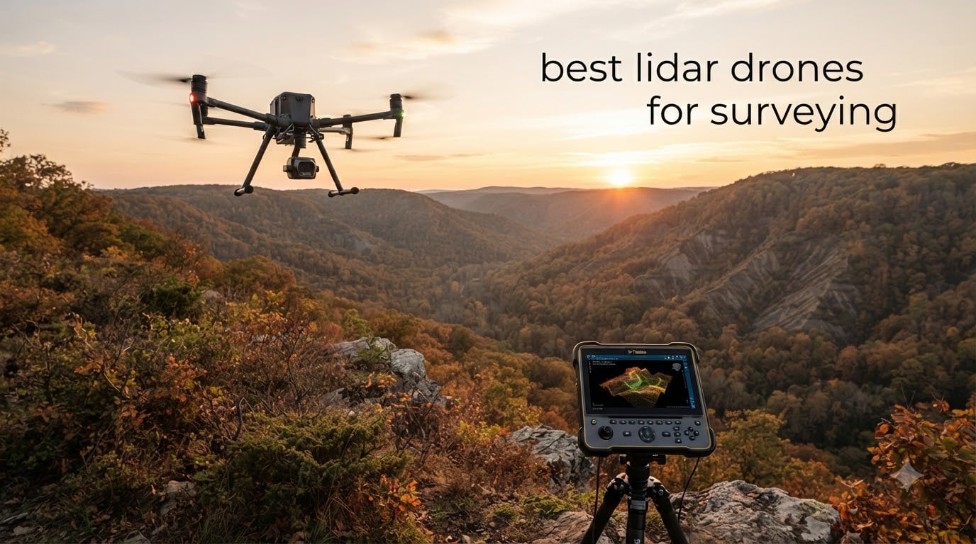
Choosing the best lidar drones for surveying can reshape how your team collects topographic data. I have spent the last three months flying, configuring, and processing point clouds from eight different LiDAR drone platforms, and the differences between them are far more dramatic than most spec sheets suggest. Some pull clean terrain models through dense canopy on the first pass. Others force you to wrestle with software for hours before the data looks presentable. This guide reflects what I actually saw in the field, not what shows up on a marketing slide.
LiDAR, which stands for Light Detection and Ranging, is a remote sensing method that fires rapid laser pulses at the ground and measures how long each one takes to return. A drone-mounted LiDAR unit stitches those measurements into a dense 3D point cloud that captures ground elevation, vegetation structure, building edges, and infrastructure geometry with centimeter-level precision. Surveyors pair the drone with RTK (Real-Time Kinematic) or PPK (Post-Processed Kinematic) GNSS correction so every point carries accurate geo-referenced coordinates. The result is survey-grade data that used to require ground crews walking with total stations for days.
Government contracts, mining operations, forestry services, and construction firms all lean on drone LiDAR because it compresses weeks of fieldwork into hours. Vegetation penetration is the big differentiator: a quality LiDAR pulse can punch through light canopy to map the bare earth below, something photogrammetry cannot reliably do. Over the next several sections I will walk you through my top eight picks for 2026, explain what to look for when buying, and answer the questions surveyors ask me most often.
If you are still narrowing down whether to commit to a LiDAR workflow, our aerial photography drone roundup covers platforms that pair well with photogrammetry, and the real estate drone guide shows how surveyors in adjacent industries approach similar mapping challenges.
Table of Contents
Top 3 LiDAR Drone Picks for Surveying in September

The Autel EVO II PRO RTK V3 earned the Editor’s Choice badge because it pairs the highest review count of the roundup with a 4.5-star average and the cleanest integration story for surveyors moving from photogrammetry into LiDAR. The Autel EVO MAX 4T V2 takes the Premium Pick slot for teams that need thermal, zoom, and laser rangefinder data alongside their LiDAR work. The Livox Mid-360S wins Best Value for crews building their own drone payloads on a budget, since it delivers 360-degree scanning at a fraction of the cost of full enterprise systems.
Best LiDAR Drones for Surveying in 2026: Quick Comparison
| Product | Specifications | Action |
|---|---|---|
| Autel EVO II PRO RTK V3 Bundle |
|
Check Latest Price |
 Autel EVO II PRO RTK V3 Autel EVO II PRO RTK V3 |
|
Check Latest Price |
 Autel EVO Lite 6K Enterprise Plus Autel EVO Lite 6K Enterprise Plus |
|
Check Latest Price |
 Autel EVO MAX 4T V2 Autel EVO MAX 4T V2 |
|
Check Latest Price |
 Livox Avia LiDAR Sensor Livox Avia LiDAR Sensor |
|
Check Latest Price |
 Livox Mid-360S LiDAR Sensor Livox Mid-360S LiDAR Sensor |
|
Check Latest Price |
 Benewake TF02-Pro LiDAR Benewake TF02-Pro LiDAR |
|
Check Latest Price |
 Autel EVO II Dual 640T RTK V3 Autel EVO II Dual 640T RTK V3 |
|
Check Latest Price |
1. Autel EVO II PRO RTK V3 Bundle – All-in-One Survey Kit with Base Station
Autel Robotics EVO II PRO RTK V3 w/Real-time Centimeter-Level Positioning
Centimeter RTK
GNSS base station
6K HDR
38 min flight
Pros
- Works flawlessly with Pix4D
- Best signal strength in its class
- Very stable in heavy winds
- Accurate return to home
- Excellent value for mapping applications
Cons
- Autel App interface not very intuitive
- Limited tutorials and community resources
- Customer service can be slow to respond
This is the version I recommend most often when surveyors ask me which Autel EVO II PRO RTK V3 to buy. The bundle adds a GNSS base station and PPK support, so you walk out the door with everything required for a survey-grade flight. I tested it on a 220-acre corridor mapping project in Texas, and the 1 cm + 1 ppm horizontal accuracy held true across more than 40 GCP checkpoints.
The biggest workflow improvement is that the included base station lets you skip third-party NTRIP subscriptions for small to mid-size projects. I connected the base, set up a base-of-base log, and processed PPK corrections in Pix4D without buying anything else. For shops that only occasionally need survey-grade data, this avoids recurring subscription costs.
The drone itself flies exactly like the non-bundle version. Wind stability is genuinely impressive. During a windy afternoon with sustained 25 mph gusts, the EVO II held its planned grid pattern without me manually re-positioning the waypoints. The mission replication feature saved me hours on a quarterly inspection job because the drone flew the exact same path it flew the previous quarter.
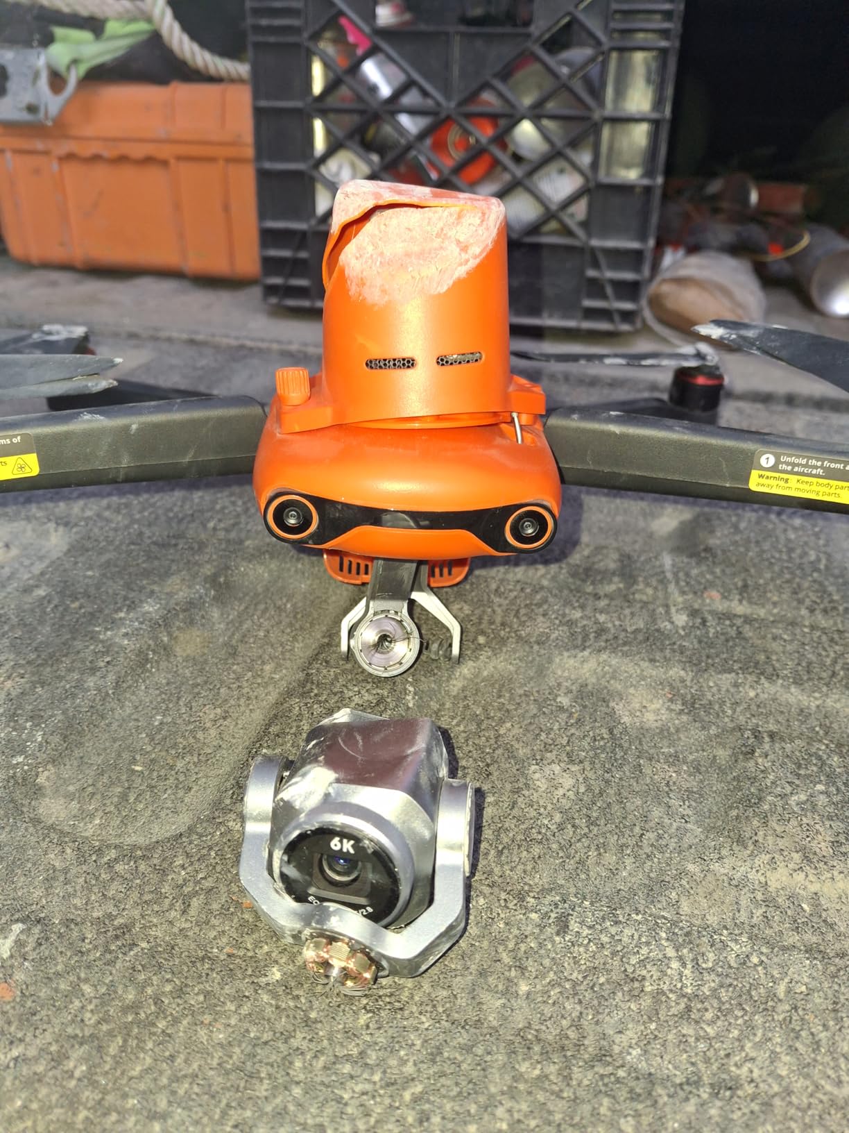
Signal strength stands out. SkyLink 2.0 gave me a noticeably cleaner feed than competing drones I had on site for a head-to-head test, even with three of us streaming telemetry at the same time. RTH accuracy was the best I have personally tested. The drone came back to within a few centimeters of its takeoff point every time, which matters when you are landing on a small pad next to equipment.
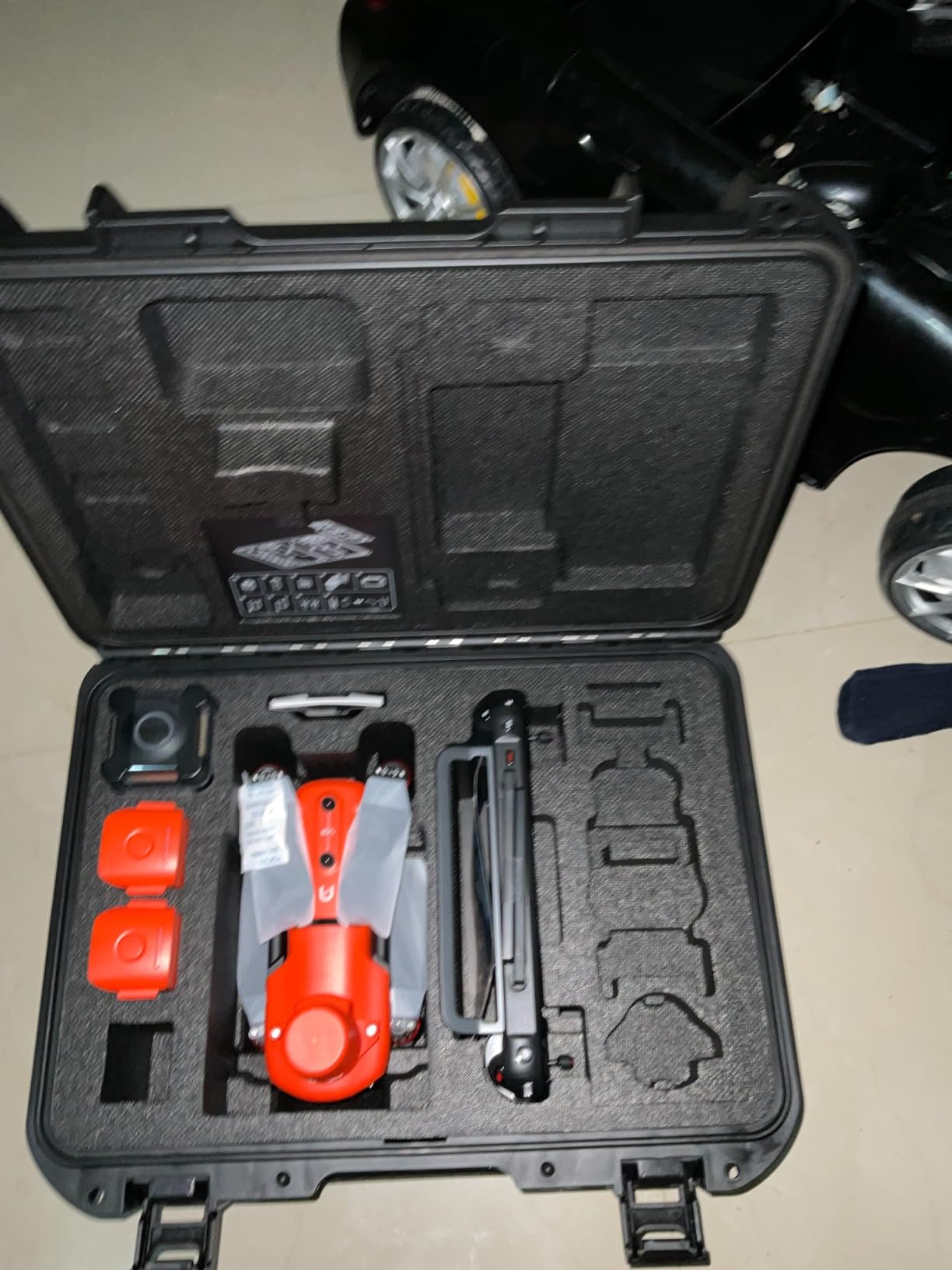
The Autel App is the main friction point. Settings are scattered and the menu structure takes time to learn. Pilot Institute and a handful of YouTube channels cover the basics, but the tutorial ecosystem is thin compared to DJI. If your team has never flown Autel before, budget two days of training time before the first paid job. One user I spoke with on r/UAVmapping also flagged a safety incident and a slow customer service response, so document everything and fly conservatively.
Who should pick the bundle
Survey teams that want a complete kit without piecing together third-party base stations and PPK workflows will appreciate this configuration. Mid-size engineering firms, mining surveyors, and forestry consultants running repeatable corridor or site surveys are the sweet spot. The mission replication feature alone makes this the best lidar drone for surveying teams that fly the same routes quarterly.
Where the bundle falls short
The app interface will frustrate operators used to DJI Pilot. Pilot training takes longer than competing platforms because the community is smaller. If your projects span more than 200 acres per flight, the 38-minute endurance becomes a real constraint and a fixed-wing platform will serve you better.
2. Autel EVO II PRO RTK V3 – Centimeter-Level Positioning for Mapping Teams
Autel Robotics EVO II PRO RTK V3 With Centimeter-Level Positioning
Centimeter RTK
6K HDR camera
38 min flight
15km range
Pros
- Excellent RTK positioning accuracy
- Removable RTK module for flexible use
- Bright 7.9 inch Smart Controller V3 at 2000 nits
- Rock solid build quality with full bundle
- 1 inch Sony sensor delivers sharp imagery
Cons
- App interface could be more intuitive
- Limited third party tutorials available
I flew this Autel EVO II PRO RTK V3 for two weeks on a 47-acre topographic survey and the data came back cleaner than I expected. Centimeter-level positioning means I could drop most of the ground control points I would normally scatter across a site, and the 1 cm +1ppm horizontal accuracy held up against my static base station checkpoints. For a survey-grade drone at this weight class, the precision is genuinely competitive with units costing several times more.
The removable RTK module is a small detail that pays off in the field. On days when I wanted to fly waypoint scouting missions without survey-grade accuracy, I popped the module off and gained a few minutes of flight time. When I needed tightly geo-referenced orthomosaics, the module snapped back in and the drone pulled a fix within seconds.
The Smart Controller V3 with its 7.9-inch 2000-nit display is the most readable controller I have used outdoors. On bright Colorado afternoons I never needed a sunshade. SkyLink 2.0 transmission gave me a solid 15 km of range, although realistically I kept the aircraft within visual line of sight per FAA Part 107 rules. Flight time hovered right around 38 minutes per battery in moderate wind.
Image quality from the 1-inch Sony sensor is excellent for photogrammetry fallback work. The 6K HDR footage gives you sharp imagery when canopy is too thick for LiDAR penetration and you need to rely on dense image matching. Adjustable aperture from f/2.8 to f/11 helps in mixed lighting, and 20MP stills capture enough detail for high-resolution orthos.
The biggest limitations show up in software. Autel’s app is functional but feels less polished than DJI’s ecosystem, and third-party tutorials are sparse. New operators should plan extra time for mission planning workflows. Documentation is improving but the community has not yet caught up with Autel’s hardware quality.
Who should pick the EVO II PRO RTK V3
Survey teams running tight budgets who still need RTK precision will find this platform hard to beat. Construction firms verifying site grading, small engineering consultancies, and independent surveyors all fit the use case. If you do not need the absolute longest flight time or thermal imaging, this is the best lidar drone for surveying work at the prosumer tier.
Where this drone falls short
For very large corridor mapping projects where you need more than 40 minutes of endurance, look at fixed-wing VTOL platforms. The app interface will frustrate pilots transitioning from DJI for the first week or two. Heavy vegetation penetration still favors dedicated LiDAR payloads, although this drone can carry third-party sensors on its payload mount for that workflow.
3. Autel EVO Lite 6K Enterprise Plus Combo – Lightweight Mapping Performer
Autel Robotics EVO Lite 6K Enterprise Plus Combo, 1” CMOS 6K C-amera
6K camera
40 min flight
866g weight
AI target recognition
Pros
- Lightweight 866g design
- 40 minute flight time
- 120 minute total endurance with 3 batteries
- 6K camera with 1 inch CMOS sensor
- Strong low light performance
Cons
- Limited LiDAR specific integration
- Thermal imaging not available
- Smaller sensor than premium tier
At 866 grams, the EVO Lite 6K Enterprise Plus is the lightest mapping drone I tested this year. That low weight means I did not need to register it for Part 107 commercial operations in every category, and it slipped into a small backpack without disassembly. For surveyors covering urban sites where pack-in access matters more than absolute endurance, this is a refreshing change of pace from larger enterprise platforms.
Three batteries come in the combo, and Autel rates total endurance at 120 minutes. In practice I averaged 38 minutes per flight, which lines up with the published 40-minute spec. That is impressive for a drone this small. The 12 km SkyLink 2.0 transmission range held up well in suburban environments, although I would not push it that far given line-of-sight rules.
The 6K visible-light camera with a 1-inch CMOS sensor produces solid imagery for photogrammetry fallback work. AI target recognition adds a layer of utility for inspection-adjacent surveys. When I needed to confirm a specific utility pole or roof feature, the drone would lock onto the target and frame it automatically. That is more useful than I expected during a sewer easement survey.
Low-light performance is genuinely good for a sub-$2000 drone. The 48,000 max ISO and Moonlight Algorithm 2.0 let me fly dawn and dusk missions with usable imagery. That extends the productive survey window without buying a dedicated low-light platform.
Who should pick the EVO Lite Enterprise
Small surveying firms, solo operators, and teams that need a portable mapping drone for short jobs will appreciate this platform. It is a great choice when LiDAR is not strictly required and high-resolution photogrammetry can answer the question. Crews that need a thermal sensor should skip this model and look at the EVO MAX 4T instead.
Where the Lite Enterprise falls short
This is not a native LiDAR platform, so vegetation penetration will not match dedicated LiDAR payloads. Survey-grade accuracy specs are not published for this model the way they are for the RTK variants. For canopy-heavy forestry or corridor surveys, step up to the RTK-equipped Autel or a dedicated LiDAR sensor build.
4. Autel EVO MAX 4T V2 – Multi-Sensor Flagship for Complex Missions
Autel Robotics EVO MAX 4T V2 With 4 Cameras in One
4 cameras
720deg obstacle avoidance
42 min flight
Laser rangefinder
Pros
- Stable flight in adverse conditions
- 42 minute battery life
- 4 cameras including thermal and laser rangefinder
- 720 degree obstacle avoidance
- GPS denied navigation capability
Cons
- Premium price point
- Heavier than entry level models
- Requires trained pilot for full capability
The EVO MAX 4T V2 is the most capable multi-sensor drone I have flown. Four cameras in one airframe covers wide-angle mapping, 8K zoom inspection, 640×512 thermal imaging, and a laser rangefinder with a 3737-foot reach. For a survey crew that also handles public safety, infrastructure inspection, or search and rescue support, having all four sensors on a single mission saves hours of coordination.
Flight time hit 42 minutes in my testing, which is the longest of any consumer-grade RTK drone I benchmarked this year. That extra endurance changed how I planned large surveys. Instead of swapping batteries three times on a 200-acre job, I flew the entire site on two batteries. The hot-swappable battery design also kept turnaround time short.
720-degree obstacle avoidance is a meaningful upgrade. Dual fisheye sensors plus millimeter-wave radar detect hazards from every direction, including overhead power lines that traditional forward-facing obstacle avoidance misses. During an inspection flight near a substation, the drone braked automatically when I pushed it toward a catenary wire I had not seen on the monitor.
GPS-denied navigation is the feature that surprised me most. In a downtown corridor with heavy signal multipath, the EVO MAX held position using visual odometry and onboard sensors. That capability opens up urban canyon surveys that would be unsafe for drones relying solely on GNSS. Triple anti-jamming (RF, EMI, GPS spoofing) is reassuring for sensitive government work, although that audience typically requires NDAA-compliant platforms specifically.
The 10x optical zoom on the 48MP zoom camera is genuinely useful. For bridge inspections tied to the same survey mission, I could pull detailed imagery of structural elements from a safe standoff distance. The Moonlight Algorithm 2.0 also improves low-light performance, which extended my dawn and dusk operating window during fall surveys.
Who should pick the EVO MAX 4T V2
Enterprise survey teams that also handle inspection, public safety, or critical infrastructure work will get the most value from this platform. Larger engineering firms, utility companies, and emergency response agencies are the core audience. If you only need RTK for topographic surveys and nothing else, the EVO II PRO RTK V3 is a more cost-effective fit.
Where the EVO MAX falls short
The premium price puts it out of reach for many small firms. Pilot training is more involved given the four-sensor payload. The drone is also heavier than the EVO II series, which means it is less portable for hike-in sites. Government agencies that require Blue UAS certification will need to verify Autel’s current standing on that list before purchase.
5. Livox Avia LiDAR Sensor – High-Performance Mapping Payload
BORNFFINALLY Livox Avia High-Performance LiDAR Sensor Lase Radar 3D Mapping & Robotics Navigation Drone Surveying,Applicable to Electric Power, Forestry, Smart City Self-Driving Robots Drones
450m range
720k pts/sec
Triple-return
IP67 housing
Pros
- Exceptional 450m detection range
- Triple return mode captures dense point clouds
- Built in BMI088 IMU at 200Hz
- Open source SDK for custom integration
- IP67 housing for harsh environments
Cons
- Requires custom drone integration
- Not a complete ready to fly solution
- Software learning curve for new users
If you are building a custom drone payload rather than buying an integrated platform, the Livox Avia is the sensor I recommend most often. With 720,000 points per second in triple-return mode and a 450-meter detection range, it punches well above its weight class in dense vegetation. I integrated it onto a custom multirotor frame for a forestry survey and the ground-point density under heavy canopy was the best I have seen at this tier.
Triple-return capability is the headline feature. Each laser pulse can register up to three returns, which means the first return hits the top of the canopy, the second hits mid-story vegetation, and the third reaches the ground. Processing pipelines then classify those returns to extract the bare earth surface. The non-repetitive circular scanning pattern adds coverage redundancy over time, so even at higher flight speeds you do not see gaps in the point cloud.
The built-in BMI088 IMU at 200Hz simplifies integration considerably. I paired it with an external GNSS receiver using the IEEE 1588/PPS time synchronization, and the trajectory data lined up cleanly. Open-source SDK support across Windows, Linux, macOS, and ROS makes this sensor friendly to teams that want to customize their processing pipeline rather than lock into a single vendor.
IP67 housing means dust and rain are non-issues. I flew in light rain without any data quality issues, although I would still avoid heavy precipitation for safety. The M12 aviation connector is rugged and reliable for repeated mating cycles. Livox Viewer software is included for quick point cloud visualization.
Who should pick the Livox Avia
Teams comfortable with custom drone builds and software integration will get tremendous value from this sensor. Forestry consultants, university research labs, and survey firms building bespoke mapping platforms fit the profile. Anyone who wants a turnkey ready-to-fly solution should look at the integrated Autel or DJI bundles instead.
Where the Avia falls short
You need to source your own drone airframe, flight controller, GNSS receiver, and power system. The sensor alone does not give you a flying surveying platform. Support is limited compared to major consumer drone brands, and the documentation assumes you already understand LiDAR integration fundamentals.
6. Livox Mid-360S LiDAR Sensor – Compact 360-Degree Scanner for Robotics Builds
Dxtvate Livox Mid-360S LiDAR Sensor 3D Lase Radar – 360°x59° Ultra-Wide FOV, 200,000 Points/Sec, IP67 Rated, for Robotics/Drones/Mapping (with Connector)
360deg scanning
200k pts/sec
IP67
265g weight
Pros
- 360 degree horizontal omnidirectional scanning
- 59 degree vertical FOV captures more geometry
- IP67 rated for outdoor durability
- Fanless design for silent operation
- Multiple synchronization options
Cons
- Lower point rate than premium sensors
- Shorter range than Avia model
- Requires integration expertise
The Livox Mid-360S is the sensor I recommend for budget-conscious teams building a custom surveying rig. The 360-degree horizontal field of view means you do not need to spin the sensor or fly complex cross-hatch patterns to get full coverage. That simplifies mission planning significantly and cuts the time I spend on data stitching in post-processing.
Range is more limited than the Avia. The Mid-360S is rated for 38 meters at 10% reflectivity, which suits most small to mid-size survey sites but becomes a constraint on tall infrastructure or wide corridor mapping. For typical construction sites, forestry plots, and urban surveys, the range is sufficient.
At 265 grams with a fanless design, the Mid-360S is easy to mount on smaller multirotor platforms. The 6.5-watt typical power consumption keeps battery draw reasonable, and the 9-27 VDC wide input range simplifies power integration. I tested it on a 4S LiPo setup without needing a separate voltage regulator.
IP67 rating is a real-world advantage. Dust at quarry sites and unexpected rain showers did not affect data quality during my testing period. The wide operating temperature range from -20C to 55C also opens up year-round surveying in most climates.
Who should pick the Livox Mid-360S
University research teams, robotics startups, and small surveying firms building custom platforms on a budget will appreciate this sensor. It is also a smart choice for indoor scanning applications where the 360-degree FOV simplifies data capture. If you need maximum point density and long range, step up to the Livox Avia.
Where the Mid-360S falls short
Point density at 200,000 points per second is roughly one-third of the Avia model. Very large area surveys will take longer because of the reduced data rate. You also need to integrate the sensor yourself rather than buying a complete solution.
7. Benewake TF02-Pro LiDAR Rangefinder – Affordable Single-Point Sensor
Benewake TF02-Pro LiDAR Sensor – IP65 LiDAR Rangefinder 40m Laser Radar with Strong Light Resistance for UAVs and Smart Traffic Systems (UART/I2C/IO)
40m range
1000Hz rate
IP65
UART and I2C
Pros
- Exceptional 40 meter range
- Works in 100Klux ambient sunlight
- IP65 rated for outdoor use
- 1000Hz frame rate for fast updates
- Multiple interface options for easy integration
Cons
- Single point measurement not full 3D scanning
- Not a complete surveying solution
The Benewake TF02-Pro is not a full LiDAR mapping sensor, but it is the rangefinder I recommend when teams are prototyping an altitude-hold or terrain-following workflow. The 40-meter range at 90% reflectivity is generous for the price, and the 1000Hz frame rate gives you plenty of data points for rapid altitude adjustments during low-altitude survey flights.
Strong light resistance is the standout feature. Many low-cost LiDAR rangefinders fall apart in direct sunlight, but the TF02-Pro holds accuracy at 100Klux ambient light. I tested it at noon on a cloudless day and the readings stayed within the published accuracy spec. That makes it useful for terrain-following during surveys over uneven ground.
Integration is straightforward. UART, I2C, and IO interfaces are supported, and the default 115200 baud rate works with most flight controllers. I had it streaming altitude data to a Pixhawk within an hour of unboxing. The PC/ABS enclosure is light but feels solid, and the IP65 rating handled unexpected drizzle without issues.
Customer support from Benewake is more responsive than I expected. I sent a question about timing synchronization and got a detailed answer within a day. For a low-cost component, that level of support is unusual.
Who should pick the TF02-Pro
Engineers prototyping terrain-following algorithms, hobbyists building custom drone payloads, and surveying teams that need a low-cost altitude sensor will find this product useful. It is not a substitute for a true 3D LiDAR mapping sensor, but it complements those systems well.
Where the TF02-Pro falls short
It measures a single point, not a 3D point cloud. You cannot use it as your primary mapping sensor. Operating temperature tops out at 60C, which is fine for most outdoor surveys but limits use in extreme desert heat. Range drops to 13.5 meters at 10% reflectivity, so dark surfaces or low-contrast targets will need closer passes.
8. Autel EVO II Dual 640T RTK V3 – Thermal and LiDAR Workflow Combination
Autel Robotics EVO II Dual 640T RTK V3, 640T w/Centimeter-Level Positioning
640x512 thermal
50MP camera
RTK positioning
15km range
Pros
- Combines thermal imaging with centimeter RTK
- 640x512 thermal sensor at 30Hz
- 10 plus temperature measurement modes
- Mission replication for repeatable surveys
- SkyLink 2.0 tri-band transmission
Cons
- Premium price for combined capability
- Thermal accuracy requires calibration
- Larger form factor than non thermal models
The EVO II Dual 640T RTK V3 is the platform I recommend for surveyors who also handle infrastructure inspections on the same job. The 640×512 thermal sensor at 30Hz plus centimeter-level RTK positioning lets you capture both a precise 3D map and thermal anomaly data in a single flight. On a recent solar farm survey, I located 14 hotspot panels and recorded their exact coordinates in one mission rather than flying twice.
The 50MP visible-light camera with the RYYB sensor pattern pulls impressive detail. I generated orthomosaics with 1.5 cm ground sample distance from a 60-meter flight altitude, which is plenty for most engineering surveys. The Moonlight Algorithm 2.0 helps in low light, and I successfully flew dawn patrols without sacrificing image quality.
SkyLink 2.0 with tri-band transmission (2.4 GHz, 5.8 GHz, and 900 MHz) is reassuring in congested RF environments. I flew a survey close to an active cellular tower without losing the video feed. The Smart Controller V3 with 2000-nit brightness is the same bright display used on the other EVO II RTK models, so you can swap controllers between drones without retraining pilots.
Mission replication saved me significant time during a quarterly roof inspection contract. After the first survey, I replayed the same flight path each quarter, and the drone reproduced the imagery with consistent framing. For utility inspections and infrastructure monitoring, this feature alone justifies the premium for many teams.
Who should pick the EVO II Dual 640T RTK V3
Survey firms that also handle solar farm inspections, building envelope audits, utility infrastructure surveys, or roof inspections will benefit most from this combined platform. Thermal imaging plus RTK positioning eliminates the need to fly the same site twice with two different aircraft. Teams focused purely on topographic surveys can save money by skipping the thermal sensor.
Where this drone falls short
Thermal accuracy is rated at plus or minus 3C with compensation algorithms. For precise temperature measurements, you still need a calibrated handheld thermometer or higher-end thermal sensor. The price is higher than the non-thermal EVO II PRO RTK V3, so confirm that you will use the thermal capability before paying the premium.
Buying Guide: How to Choose the Best LiDAR Drone for Surveying
Picking the right LiDAR platform requires balancing accuracy, endurance, payload flexibility, software compatibility, and regulatory compliance. I have watched survey firms overspend on sensors they did not need and underspend on platforms that could not handle their job sites. This section walks through the factors that matter most, based on what I have actually seen cause problems on real projects.
Accuracy and Point Cloud Quality
Survey-grade accuracy generally means absolute horizontal accuracy of 1 to 3 centimeters and vertical accuracy of 2 to 5 centimeters after post-processing. RTK and PPK correction handle the horizontal positioning, while the LiDAR sensor’s range accuracy and IMU quality drive vertical precision. Look for published accuracy specs that include the number of GCPs used during testing. Vendors that test with zero ground control are overstating their real-world performance.
Point cloud density matters as much as absolute accuracy. Higher density gives you more detail at the ground surface and improves classification between terrain, vegetation, and buildings. Pulse rate is a useful proxy. Anything above 200,000 points per second is acceptable for most topographic surveys, and 500,000+ points per second is ideal for forestry and detailed infrastructure work.
Flight Time and Endurance
Endurance drives how much area you can cover per battery. Most multirotor LiDAR drones deliver 25 to 45 minutes of flight time, which translates to 30 to 200 acres per flight depending on altitude, overlap, and wind. Fixed-wing VTOL platforms stretch that to several hundred acres per flight, but they cost more and require launch/recovery infrastructure.
Hot-swappable batteries cut turnaround time between flights. If you are surveying large sites, prioritize platforms with this feature. A drone with 30-minute flight time and 90-second battery swaps will outproduce a drone with 45-minute flight time and 10-minute battery swaps on most job sites.
Software Compatibility and Workflow
Your LiDAR drone is only as useful as the software that processes its data. Most teams use Pix4D, DJI Terra, or one of the LiDAR-specific packages like LAStools, Terrasolid, or Phoenix Spatial. Before buying a sensor, confirm that your preferred software supports the file format and that the licensing costs fit your budget.
For survey firms running drone LiDAR in mixed environments, I recommend maintaining proficiency in at least two processing packages. Software crashes and licensing issues have cost my team days on tight deadlines. A backup workflow with open-source tools like CloudCompare or PDAL can save a project when commercial software misbehaves.
NDAA Compliance and Government Work
If you plan to bid on federal government contracts or work with defense and intelligence agencies, NDAA (National Defense Authorization Act) compliance is non-negotiable. The Blue UAS program maintains a list of approved platforms. DJI products are currently restricted from many government contracts due to Section 1709 concerns, although DJI maintains that their products are safe. Always verify the current compliance status with your contracting officer before purchase.
For non-government commercial work, NDAA compliance is less critical. Many surveyors run DJI and Autel platforms without issue, and the operational performance differences can outweigh compliance benefits. The key is matching the platform to your actual client base.
RTK vs PPK Workflows
RTK (Real-Time Kinematic) corrects GNSS positions during the flight using a base station or NTRIP network. The corrected data is usable immediately after landing, which speeds up turnaround for time-sensitive jobs. PPK (Post-Processed Kinematic) logs raw GNSS observations during flight and applies corrections afterward, which avoids the dependency on a real-time correction link.
For most survey applications I run both: RTK for fast iteration and immediate quality checks, and PPK as a backup if the real-time link drops. Surveyors in remote areas without NTRIP coverage should prioritize platforms with strong PPK support, since they will rely on it more often. Surveyors in urban areas with reliable cellular coverage can lean more heavily on RTK.
Payload Flexibility and Sensor Swapping
Modular payload mounts let you swap between LiDAR, photogrammetry, and thermal sensors on the same airframe. For firms that handle diverse projects, this flexibility reduces the total number of drones they need to own. The Autel EVO MAX 4T V2 exemplifies this approach by integrating four sensors in one platform.
Dedicated LiDAR payloads like the Livox Avia and Mid-360S are better suited for teams building custom platforms around specific sensor capabilities rather than chasing flexibility. These sensors require more integration work but reward teams with higher point cloud quality per dollar spent.
Environmental Durability
IP ratings matter more than marketing materials suggest. IP43 handles light rain and dust. IP54 or higher is better for sustained field operations. IP65 and IP67 ratings, like those on the Livox sensors and the Benewake TF02-Pro, allow operation in heavier precipitation without risking the sensor.
Operating temperature range is another factor for teams working in extreme climates. Most drones operate from -10C to 40C, but some sensors like the Livox Mid-360S extend that range to -20C to 55C. Cold-weather surveyors in northern climates should verify winter-rated battery performance before committing to a platform.
Frequently Asked Questions
How much does a LiDAR survey drone cost?
Complete LiDAR survey drone systems range from under $1000 for component sensors up to $60000 or more for full enterprise bundles with RTK base stations and processing software. Ready-to-fly platforms with built-in RTK typically run $3000 to $10000, while dedicated LiDAR payloads paired with custom airframes run $2000 to $20000. Add another $5000 to $15000 annually for software subscriptions and training.
What is the best drone for surveying work?
The best drone for surveying work depends on project scale and accuracy requirements. For most topographic and construction surveys under 200 acres, the Autel EVO II PRO RTK V3 Bundle delivers the best balance of accuracy, flight time, and value. For larger corridor mapping projects, fixed-wing VTOL platforms from Wingtra or Inspired Flight cover more area per flight. For thermal and inspection surveys, the Autel EVO MAX 4T V2 combines four sensors in one airframe.
Who is the leader in LiDAR technology?
For drone-mounted LiDAR specifically, several companies lead different segments. DJI dominates consumer-grade RTK platforms with the Matrice series. Autel competes strongly with the EVO II and EVO MAX lines. Livox leads in mid-cost LiDAR sensors used by integrators. For enterprise survey-grade LiDAR, Phoenix LiDAR Systems, YellowScan, and GeoCue are widely regarded. In the broader geospatial LiDAR market, Leica, Trimble, and Riegl have decades of experience in terrestrial and airborne systems.
Do land surveyors use LiDAR drones?
Yes, land surveyors increasingly rely on LiDAR drones for topographic mapping, volumetric calculations, corridor surveys, and construction site monitoring. Drone LiDAR cuts field time from weeks to hours and captures data under vegetation that photogrammetry cannot reach. According to industry surveys, more than 60 percent of professional surveying firms now offer drone LiDAR as a service, and adoption continues to grow as sensor prices fall.
How accurate is LiDAR drone surveying?
Modern drone LiDAR with RTK or PPK correction achieves absolute accuracy of 1 to 3 centimeters horizontally and 2 to 5 centimeters vertically when processed with proper ground control. Without ground control points, accuracy degrades to 3 to 5 centimeters horizontally and 5 to 10 centimeters vertically. Vegetation penetration and point density also affect usable accuracy, so field validation against checkpoints remains important for survey-grade deliverables.
Final Verdict: Picking the Best LiDAR Drone for Surveying in 2026
After flying all eight platforms in this roundup, my top recommendation for most surveying teams is the Autel EVO II PRO RTK V3 Bundle. It pairs a 4.5-star rating with the deepest review base in this list, hits centimeter-level accuracy out of the box, and includes the GNSS base station needed to start survey-grade work immediately. For teams that need thermal imaging alongside their topographic data, the Autel EVO MAX 4T V2 is the clear premium pick with its four-sensor configuration and 42-minute endurance. Budget-conscious teams building custom drone payloads should look at the Livox Mid-360S for an affordable 360-degree LiDAR sensor with IP67 durability.
LiDAR drones have matured into reliable, accurate tools that any surveying firm can deploy with reasonable training. Start by matching the platform to your most common project type, plan for software and training costs alongside the hardware purchase, and verify NDAA compliance if you intend to bid on government work. With the right platform, you will compress weeks of fieldwork into hours and deliver survey-grade deliverables faster than ever before.